
Immagine:DEMAlpesEW.png
Da Wikipedia, l'enciclopedia libera.

Questo file proviene da Wikimedia Commons, per ulteriori informazioni vedi la sua pagina di descrizione.
Se non hai mai usato Commons, visita la pagina di benvenuto, o leggi le FAQ.
[edit] Summary
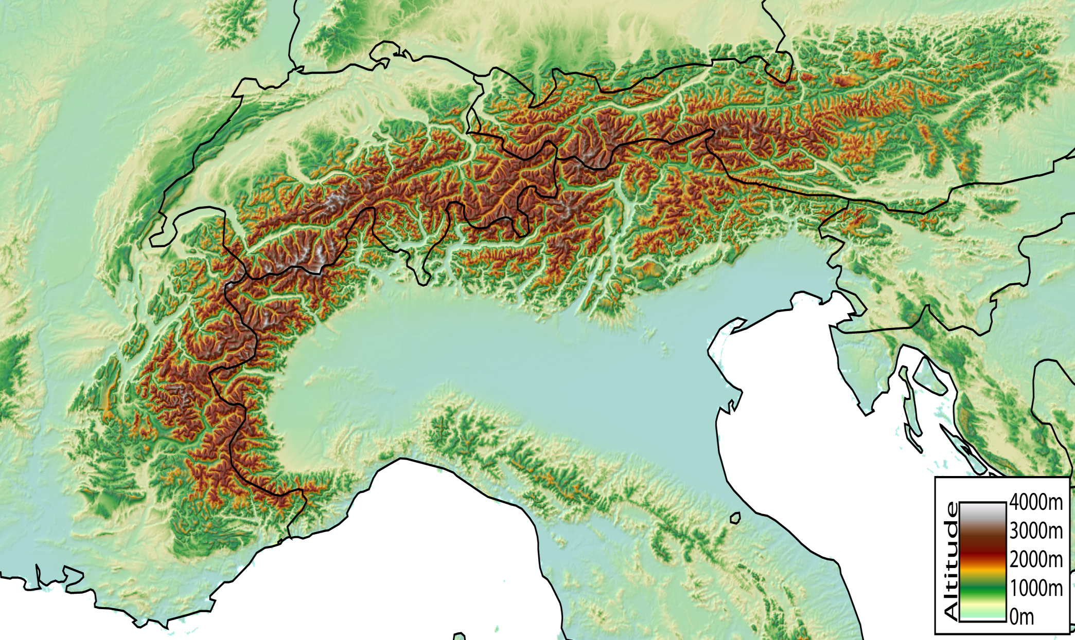
Digital Elevation Model of the Alps, from Nice (France) to Vienna (Austria) created by jide from the GTOPO30 dataset (pixel size ~1km).
[edit] Licensing
|

Pagine che usano questa immagine
Le pagine seguenti richiamano questa immagine:

