
Immagine:Zolyom.png
Da Wikipedia, l'enciclopedia libera.

Questo file proviene da Wikimedia Commons, per ulteriori informazioni vedi la sua pagina di descrizione.
Se non hai mai usato Commons, visita la pagina di benvenuto, o leggi le FAQ.
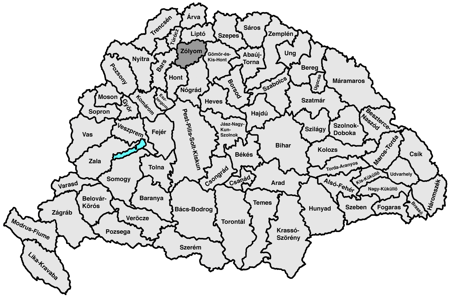
- map of the Hungarian kingdom and its counties, county of Zólyom highlighted
- selfprovided on May 22th, 2005 (bases on Image:Kingdom_of_Hungary_counties_1768x1168.png)
 |
Permission is granted to copy, distribute and/or modify this document under the terms of the GNU Free Documentation License, Version 1.2 or any later version published by the Free Software Foundation; with no Invariant Sections, no Front-Cover Texts, and no Back-Cover Texts. A copy of the license is included in the section entitled "GNU Free Documentation License".
العربية | Česky | Deutsch | English | Español | Français | Italiano | 日本語 | 한국어 | Nederlands | Polski | Português | Slovenčina | Svenska | עברית +/- |
Pagine che usano questa immagine
Le pagine seguenti richiamano questa immagine:

