
Image:Death Valley NP master map.png
From Wikipedia, the free encyclopedia

| | This is a file from the Wikimedia Commons. The description on its description page there is shown below. |
[edit] Summary
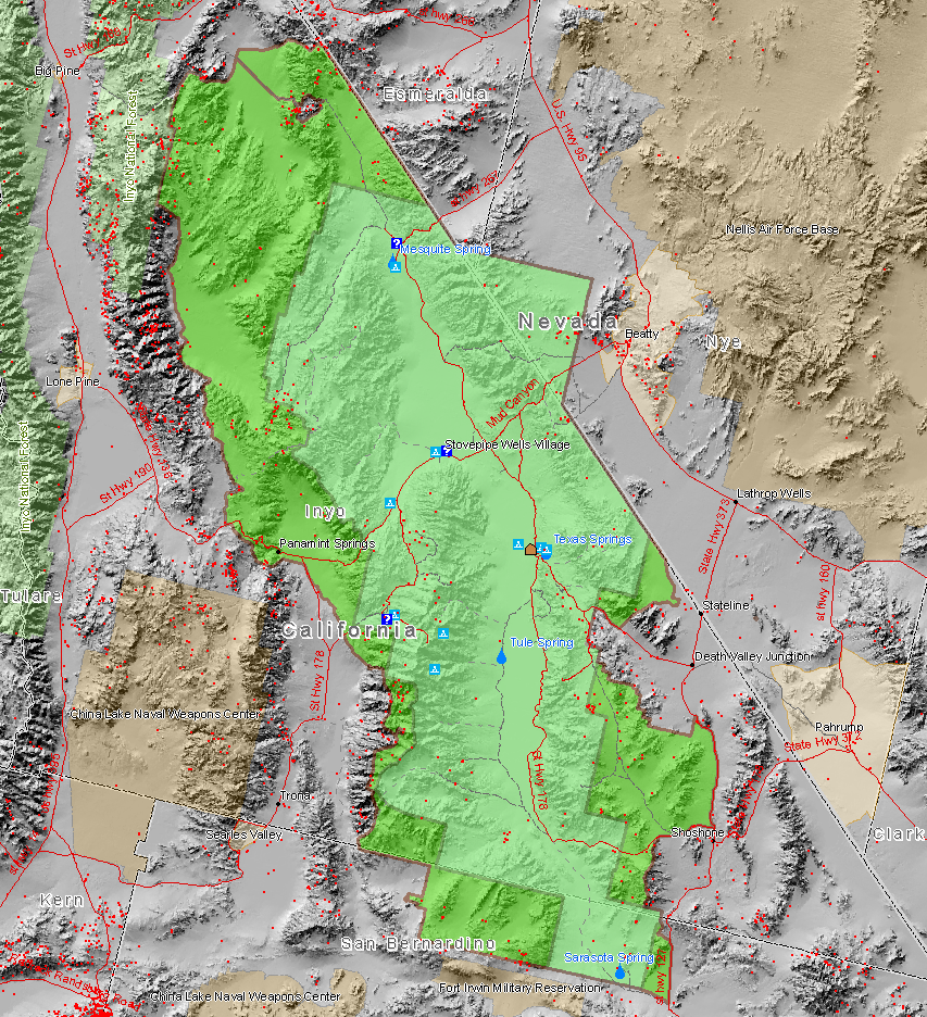
Map created by Daniel Mayer using data from the National Park Service metadata
Red dots are mine sites, blue triangles are camp sites, and blue question marks are tourist information facilities. This map also shows the old borders of Death Valley National Monument and the new borders of the expanded national park.
[edit] Licensing
|
File links
The following pages on the English Wikipedia link to this file (pages on other projects are not listed):

