
Εικόνα:Cyprus topo.png
Από τη Βικιπαίδεια, την ελεύθερη εγκυκλοπαίδεια

| Αυτό το αρχείο προέρχεται από την Κοινή Wikimedia. Για περισσότερες πληροφορίες δείτε την σελίδα περιγραφής της. |
| Description |
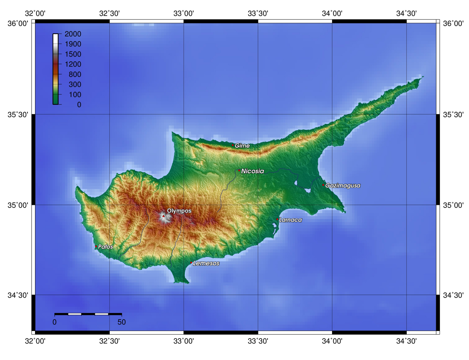
Description: Topography of Cyprus, created with GMT 4.1.3 |
||
|---|---|---|---|
| Source |
Source: At least one of the following Public Domain data sources |
||
| Date |
2006-07-11 |
||
| Author | |||
| Permission |
|

Συνδέσεις εικόνας
Τα παρακάτω λήμματα συνδέουν σε αυτή την εικόνα/γραφικό:

